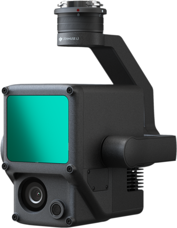
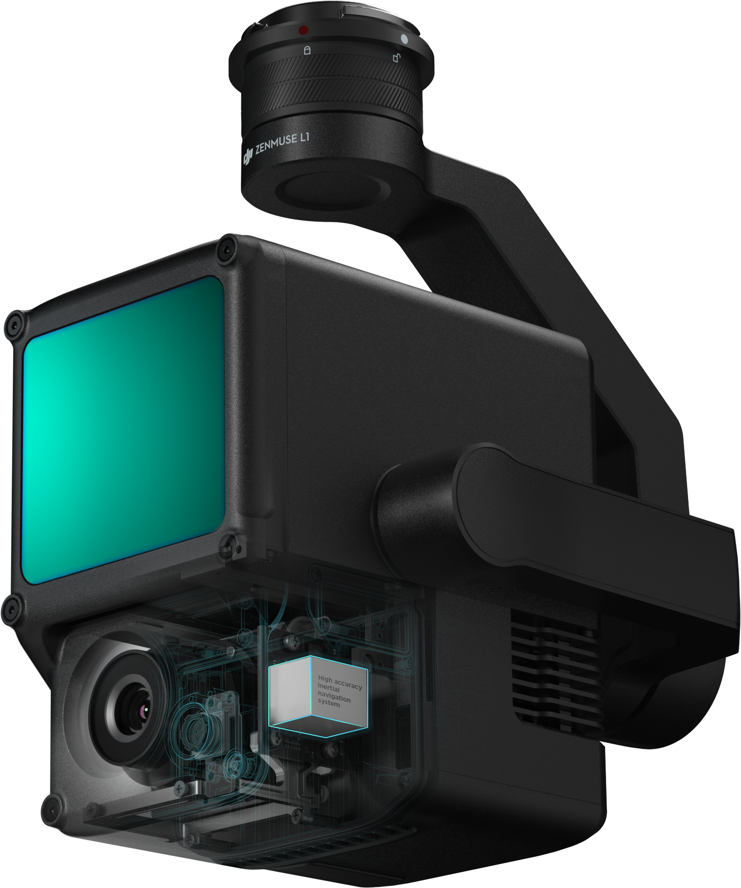
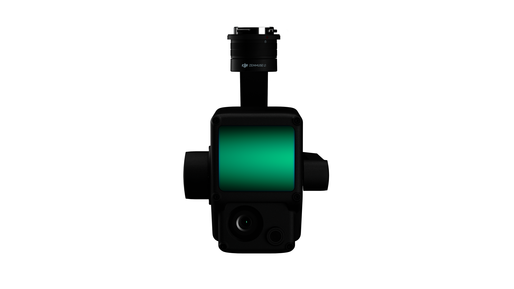
Zenmuse L1
Instant Clarity. Superior Accuracy.
A Lidar + RGB Solution for Aerial Surveying
The Zenmuse L1 integrates a Livox Lidar module, a high-accuracy IMU, and a camera with a 1-inch CMOS on a 3-axis stabilized gimbal. When used with Matrice 300 RTK and DJI Terra, the L1 forms a complete solution that gives you real-time 3D data throughout the day, efficiently capturing the details of complex structures and delivering highly accurate reconstructed models.
We specialize in end-to-end business solutions for UAV Operations. We offer the latest hardware, software, accessories, and up to date training for Enterprise applications. We cater to multiple industries such as Oil & Gas, Public Safety, Infrastructure, Agriculture, and many more. Let us help you build and scale your UAV program!